
Madison Previous Residents by Era
Start with the period that matches the question, but keep the parcel's legal description in view. Madison County assessment and plat books reach into the 1800s, while the online cutoff for recorded documents is not stated. Historical directories are intermittent, not a year-by-year run. Madison telephone evidence is unusually precise for two snapshots. Federal census schedules add whole households through the most recent public census, and city permits add a current address-based layer.
| Source | Verified Time Span | Madison Access Point | Evidence Found |
|---|---|---|---|
| Assessment and plat books | Some records into the 1800s | Madison County assessor counter | Owner and legal land description |
| City directories | Intermittent, 1859 to 2006 | ADAH, HMCPL, digital collections | Name, work, and residence clues |
| Madison phone books | 1944 and 1969 snapshots | Huntsville History Collection | Subscriber name and number |
| Federal census | Public schedules through 1950 | NARA and library databases | Household members and relationships |
| Historical address pages | Mixed dates | Huntsville History Collection | House and person narratives |
| City permits | Current portal, cutoff unstated | Madison Building public inquiry | Work type, number, address, status |
For recent past residents, begin with the assessor, current purchase deed, and permit search. For a mid-century Madison home, pair deed transfers with phone books and the nearest census year. Earlier research depends more on deed books, plats, assessment records, historic house pages, and probate files. No verified Madison-city Sanborn fire-insurance map set exists, so Huntsville's 1898 sheets must not be used as if they cover Madison Station.
Madison Previous Residents Across Counties
Madison extends into Madison and Limestone Counties. The city handles permits and local context, but deeds, probate, and assessments follow the county containing the parcel. A Madison postal label or ZIP does not decide that question. Use the City of Madison GIS gateway to check city and county context, then move to the right assessor and Probate Judge.
For western Madison, Limestone Revenue accepts name, parcel number, or address searches. Its results can include assessed value, buildings, taxes, maps, and exemptions. Limestone Probate provides land-record and probate-case lookup paths, while the county archive becomes vital when the online trail ends. Following the wrong county can make a valid deed appear to be missing.
Note: Keep the parcel PIN, subdivision, lot, block, and legal description together before crossing from a city map into either county system.
Trace Deeds for Madison Residents
A deed chain starts with today's assessed parcel. A grantor gives an interest in land, while a grantee receives it. The chain of title is the linked sequence of those transfers. The legal description identifies the land by lot, block, plat, or measured boundaries and is safer than a street label when Madison names or numbers change.
- Confirm the parcel and county in city GIS. Copy the owner, situs address, mailing address, PIN, subdivision, lot, block, exemption, and deed reference.
- Open the current deed through the proper county's recorded-document system. Record its grantor, grantee, date, instrument or book and page, and full legal description.
- Search that seller as an earlier grantee. Match the same legal description before accepting the transfer as the prior link.
- Repeat through the online index. When digital results stop, take the last good book, page, and party names to Probate or the archive.
- Add permit records by service address, then test owners against directories and census evidence for actual residence.
- Grantor and grantee
- The party transferring land and the party receiving it.
- Chain of title
- The connected series of recorded transfers for the same parcel.
- Legal description
- The formal land identity that can survive a changed road name or house number.
- Situs address
- The property's physical location, which may differ from the tax mailing address.
This sequence separates ownership from occupancy at every stage. A deed link advances the land history; only a directory, census schedule, phone listing, or other residence record advances the household history.
Find Madison Residents Beyond the Web
The Madison County Recorded Documents portal offers free accounts and free available images, but the research does not verify an exact online start year. Do not turn that gap into a claim that earlier deeds are lost. Madison County Probate accepts archive appointments by email or phone, and its historic archive at 6921 Highway 431 in Owens Cross Roads opens Monday, Wednesday, and Friday from 9 to 3, with Tuesday and Thursday visits by appointment.
Estate files can close a previous-resident trail after an owner's death. Petitions and notices may identify personal representatives, known heirs, and claimants. Madison Probate lists copies at $1 per page and $5 certification for exemplified copies. Certification proves that a copy came from the custodian; it does not prove each fact stated in the underlying paper.
Limestone Archives for Madison Residents
West-side Madison parcels may lead to the Limestone County Archives Master Index. Search a person as “Last Name, First Name” or with an initial, then narrow by descriptions, names, places, or categories such as Deeds. Underlined results can lead to images. The archive reports more than 350,000 name entries in more than 6,000 books and files dating to Limestone County's 1818 start.
The Limestone Archives source image below shows the search used when a Madison address falls west of the county line.

Its pre-1900 groups include deeds, voter registrations, wills, court cases, tax blanks, marriages, and plat books, which can reconnect a broken land or family trail.
Copies cost $1 per document and certified copies $5. Email delivery is available; postal delivery adds $1 per ten documents. The stated turnaround is two to four weeks. The archive is at 102 West Washington Street in Athens and operates weekdays from 8 to 4:30.
Pair Madison Residents With Census
Ownership alone cannot answer who lived here before. A directory or phone-book entry may place a subscriber at an address, while a census schedule can name related and unrelated household members. The most reliable method uses each source for what it actually records.
- Choose a deed transfer or assessment year as the first time marker.
- Search the closest available directory editions and record exact spelling, occupation, residence, and edition.
- Check the nearest public census schedule and compare the street, household names, ages, and relationships.
- Carry variants forward and backward through adjacent editions. Treat a missing year as a gap, not proof that someone moved.
- Use probate, cemetery, obituary, or newspaper material to test where a person went after leaving the address.
The Census Bureau's 72-year release rule explains why schedules are public only through 1950. The image documents that release boundary.
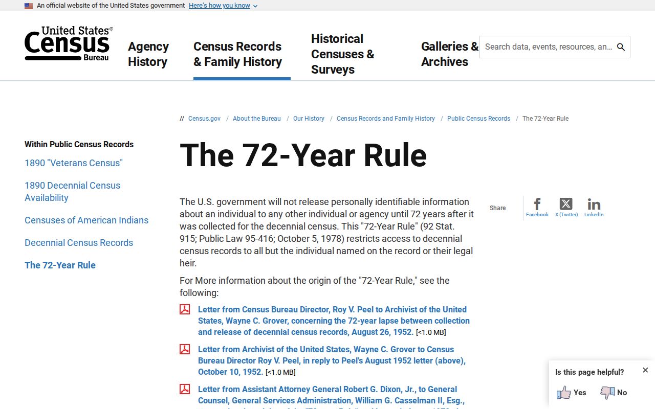
For later decades, Madison phone books, deeds, permits, and other open sources must carry more of the address history.
Madison Past Residents by Telephone
Madison's 1944 telephone book was only eight pages, with four handwritten subscriber pages and short numbers. The 1969 edition also had four subscriber-list pages. A suffix such as “30J” reflects party-line practice, not a modern extension. A listed subscriber could be a resident, doctor, bank, shop, or other business, so a name and number need a deed, directory, census, or historic street page beside them.
Southern Bell acquired 353 Madison phones in July 1960, counted 429 by year end, and served more than 1,500 by 1970. That shift helps explain why the early telephone evidence is thin and why later address trails are denser. The historical collections themselves are detailed on the Madison city directories page.
Note: HMCPL does not answer city-directory questions by phone, so plan an in-person Special Collections visit for shelf research.
Madison Residents on Sullivan Street
Sullivan Street was once Huntsville–Decatur Road. Dr. George Sullivan's 1869 Lot 10 history and a later 4336 Sullivan address show why a modern street search can miss old records for the same land. Original railroad-aligned Madison Station lots measured 66 by 198 feet. Lot and plat references are therefore more durable than a road name.
The address-indexed Huntsville History Collection pages for Allen, Arnett, Church, College, Front, Main, Maple, Martin, Mill, Short, Sturdivant, and Sullivan streets act as a local house-history index. Dates vary, and the set is not comprehensive. Even so, these Madison Station narratives can connect deeds, buildings, and people after the formal record identifies the parcel.
Confirm Madison Previous Households
A parcel record is a current assessment, a deed is a transfer, a plat defines land geometry, and a permit records work. None is a household roll. Tax mailing addresses are correspondence destinations, not proof of residence. A homestead exemption can support owner occupancy for a tax period, but it still does not identify every person in the home.
Strong research on previous residents pairs the ownership trail with directory, telephone, census, probate, and community-memory evidence. Madison's cemetery records process can link a niche family trail to a deed, will, or letters testamentary when a lot transfer is involved. Keep a source log that separates confirmed owners, confirmed occupants, and unresolved names. That distinction protects living people and makes a Madison house history easier for another researcher to check.
Lawful use. Research previous residents for house history, genealogy, heirs, or personal curiosity. Alabama law prohibits harassment, stalking, and harmful electronic tracking.