
Trace a Madison Street Directory
A reliable street-by-street search starts with place, not a person's name. Madison crosses Madison and Limestone Counties. That split controls which tax office and Probate Judge hold an address record. City GIS supplies the city-limit and county context, while the county roll supplies the assessed owner. A deed then documents a transfer. Voter and historical sources can add evidence of residence, but they do not create a complete household list.
Use the same normalized street name and parcel identifier at each stage. A PIN is the parcel identification number used to connect a mapped tract with its assessment record. The legal description, such as a subdivision lot and block, is more stable than the street label. It becomes vital when a road name changes or an older book lacks today's number.
- Enter the exact address in Madison City GIS. Confirm city limits, county, street spelling, and the parcel polygon.
- Move the PIN or parcel number to the correct county assessor. Record the owner, property address, mailing address, subdivision, lot, and deed reference.
- Open the current deed with that county's Probate Judge. Capture grantor, grantee, date, book and page or instrument number, and the legal description.
- Check address-keyed permits and any lawfully available voter data. Treat each as a separate clue rather than proof of every person in the home.
- For older occupants, consult a telephone book, census, or city directory and keep the parcel description constant across name changes.
This sequence makes the Madison address workflow auditable. It also avoids the most common error: choosing the county from a ZIP code or mailing label alone.
Map Madison Streets First
The Madison GIS gateway is the right first stop because its services include city limits, address location, parcels from both counties, zoning, voting, flood, aerial, historic-district, and code-enforcement layers. Pan along the road and select parcel polygons rather than assuming every numbered address sits in one county. The consumer map and the service catalog answer jurisdiction questions; the Madison County GIS gateway adds county context, while the tax roll remains the source for assessment details.
The source behind that workflow is visible in the City StreetParcelBase parcel layer.
The layer exposes property and mailing addresses, PIN, parcel number, tax district, neighborhood, subdivision, lot and block, owner fields, deed references, and geometry. Those fields let a Madison by-address search move from a point on a street to the correct public record without treating the map as a household roll.
Note: City GIS establishes location and jurisdiction, while the proper county assessor supplies the official tax and ownership context for each parcel.
Search Madison County Streets
For the Madison County side, the parcel viewer offers By Attribute and By Shape searches. Its layers include parcel hover, county data, contours, and imagery. After an address hit, zoom to the parcel and inspect nearby polygons. Transfer the PIN to the assessment detail before drawing a conclusion about ownership.
| Portal field | Input rule | Street-directory use |
|---|---|---|
| Parcel Number | At least 3 characters | Returns the mapped tax parcel |
| PIN | At least 1 character | Links map and assessment detail |
| Property Address | At least 3 characters | Starts a search by address |
| Subdivision | At least 3 characters | Groups lots beyond one street name |
The Madison County Tax Assessor search also permits Tax Year plus Name, PIN, Company, Parcel, Account, Subdivision, or Address. Name mode can match a last name from its beginning or from any contained text. This is useful after a parcel search produces an owner name that may recur elsewhere.
The mapped interface is shown in the official Madison County parcel viewer.
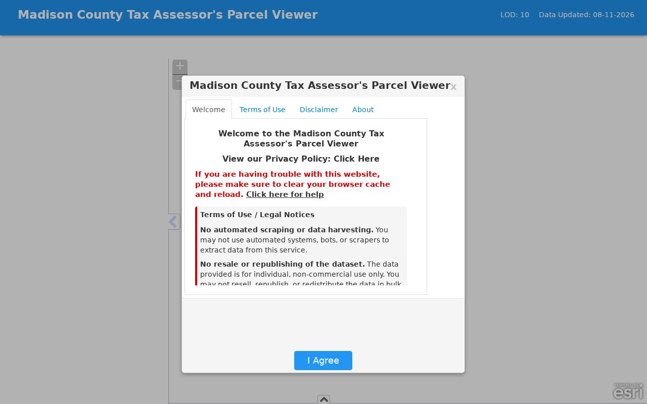
Its search and layer tools support a true street-by-street inspection. Results identify the PIN, tax year, and property address, which should be recorded before leaving the viewer.
Read Madison Parcel Results
A parcel card separates where land sits from where a tax notice goes. That distinction is central to Madison address research. A homestead exemption can support owner-occupancy for a tax period, but it is not final proof that the named person was present on a specific day. Building values and improvement data describe the assessed property, not the people inside it.
- Parcel
- A mapped tract of land tracked by a county for tax and deed purposes.
- Situs address
- The physical property location. It can differ from the owner's mailing address.
- Plat
- A recorded map that fixes subdivision lots, blocks, streets, and dimensions.
- Criss-cross directory
- A directory arranged by street and number instead of only by surname. No exact local year run was verified.
Read the parcel record as one tier in an evidence chain. The owner field states whom the assessor carries. A prior-owner field can point to a deed search. The tax district helps test jurisdiction. None supplies a complete list of Madison residents at the address.
Cross Madison County Lines
Western Madison reaches across County Line Road into Limestone County. A Madison postal label can still point to Limestone land, probate, tax, and court records. The same is true of the city's three ZIP codes: they are mail geography, not proof of county or incorporation. The official street list even includes city-limit streets in Limestone County.
The Limestone branch begins with its Revenue public viewer, which accepts Name, Parcel Number, or Address. Results can show appraised and assessed values, taxable buildings, tax, a map, and exemptions. Its service layers include owner parcels, county boundaries, owner-name labels, acreage, dimensions, and a map-book index.
See the county interface at the official Limestone Revenue viewer.
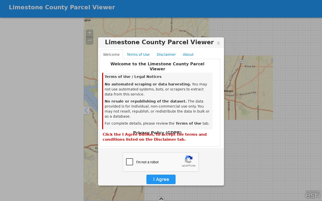
The screenshot reinforces why a Madison address must be routed by mapped parcel rather than ZIP. Once the county is set, preserve the PIN, subdivision, lot, block, deed reference, and legal description for the next search.
Madison Records Organized by Street
Several sources accept an address, but each answers a different question. Combining them is more useful than asking one file to prove too much. The coverage below includes every documented channel, including the public counter and archive when an online index stops.
| Address source | Record keeper | What the source shows | Access route |
|---|---|---|---|
| Parcel assessment | Madison Assessor or Limestone Revenue | Owner, situs, mailing address, PIN, value, exemption | Online viewer and office counter |
| Parcel GIS | City and counties | Geometry, city limits, county, street, neighborhood | Free map and service layers |
| Deed, mortgage, plat | County Probate Judge | Transfer parties, legal land, recording reference | Account portal, counter, or archive |
| City permit | Madison Building Department | Permit type, number, service address, status | Free public inquiry; office help |
| Voter record | Alabama and resident's county | Permitted registration fields and election context | Personal lookup or paid list, with protected fields withheld |
| Historical directory | HMCPL, ADAH, and HHC | Names, occupations, addresses, or phone subscribers by edition | In person, finding aid, or selected digital items |
State and federal registration follows the resident's county, while Madison's City Clerk manages municipal elections. The personal Alabama Votes lookup is not a block browser. A bulk list is governed by state rules, and protected voters remain named while residence and mailing fields are withheld. Treat voter data as a bounded record, not an all-purpose street directory.
Follow Madison Deeds by Street
The deed trail begins after the parcel search. In Madison County, the Recorded Documents portal uses a free account and makes available documents free. In Limestone County, the Probate ING landing provides land-record and probate-case lookups, account tools, and search instructions. Exact online starting dates were not verified for either county.
Open the present purchase deed and note the grantor, the seller, and grantee, the buyer. Capture the recording date, instrument or book and page, and full legal description. Next, search the seller as an earlier buyer. Match the same subdivision lot, block, or metes-and-bounds description at each link. If the portal ends, use the Probate counter or archive rather than assuming the chain ends.
Madison County's historic archive in Owens Cross Roads holds older material by appointment or during published weekday hours. Limestone County Archives offers a Master Index with more than 350,000 name entries from over 6,000 books and files dating to the county's 1818 beginning. Those fallbacks are crucial for land books that predate online images.
Note: A deed proves a recorded transfer of land; it does not prove every occupant or the exact date a household moved.
Check Madison Permits by Address
The Madison public permit search accepts Permit Type, Permit Number, and Service Address. General public inquiry is free and needs no account. Applications require registration, and staff ask callers to contact the department when a new project has no assigned address. A permit documents work and status, not a resident list.
The assigned source image comes from the official Madison permit portal.
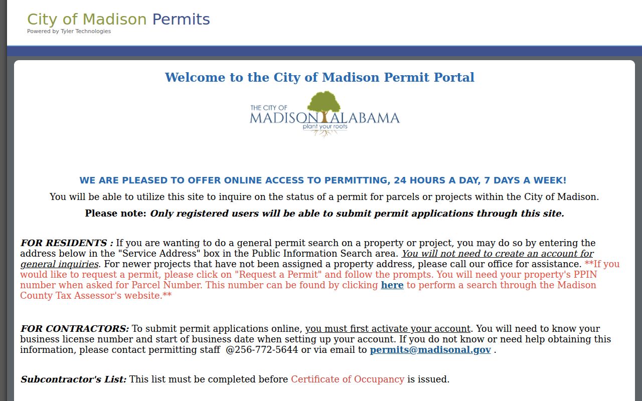
The Service Address field makes the portal a useful follow-up after parcel identification. Record the permit number and type, then ask the Building Department for help if the public result lacks context. Do not infer that an applicant, contractor, or owner occupied the property.
Bridge Madison Street Names
Street labels change, but land descriptions can survive. Sullivan Street was once Huntsville-Decatur Road. Dr. George Sullivan's 1869 Lot 10 history and a later Sullivan address show why a search based only on today's street name can miss an earlier record. Madison Station's original railroad-aligned lots measured 66 by 198 feet, adding a stable spatial clue in historic work.
The official Madison Street Listings document standardizes street names, directions, subdivisions, and districts. A formal street-name change process also exists, though no published citywide numbering rule was found. When an old name fails, search subdivision, lot, PIN, plat, and deed references, then compare the historic street pages in the Huntsville History Collection.
Historic Main, Front, Church, Mill, and Sullivan streets follow the railroad core, while later growth extends west. That local shape is why a by-street search benefits from both maps and text indexes.
Read Historic Madison Streets
Older address work belongs in a specific edition. The Huntsville History Collection has address-indexed house pages for Allen, Arnett, Church, College, Front, Main, Maple, Martin, Mill, Short, Sturdivant, and Sullivan streets. Madison telephone evidence is especially local in 1944 and 1969. A subscriber may be a resident, doctor, bank, drugstore, or other business, so the exact name, number, and edition must be tested against deeds, census records, or house pages.
Huntsville and Huntsville-Madison County directory runs are held through the Alabama Department of Archives and History and HMCPL Special Collections. Their shelf history is covered in the Madison city directories collection. HMCPL requires city-directory questions to be researched in person and does not answer them by telephone.
No verified Madison criss-cross year run was found. That gap matters. It is safer to describe a volume by the order actually seen than to assume every later city directory includes a street-order section.
Madison Street Directory Limits
A public street directory can identify parcels, assessed owners, deed parties, permitted projects, and selected historic names. It cannot list every renter, relative, guest, or other person in a household. Utility customer and motor-vehicle address data are not public resident rolls. A mailing address can be a correspondence destination. The situs address merely places the parcel.
Protected Alabama voters may appear by name while their residence and mailing address are omitted. Historical print can be unredacted, yet it still reflects only the publisher's sources and the date of that edition. Missing online deeds may be at a public counter or archive. Missing people may never have appeared in the source at all.
Lawful use. Use Madison address records only for lawful personal research, civic inquiry, genealogy, or property history. Alabama law prohibits stalking, harassment, and harmful electronic tracking.
Sound street research labels every inference. Owner, subscriber, voter, and occupant are different roles, and no single Madison record should be made to stand for all four.