
Madison ZIP Directory Coverage
Three postal codes appear in the City of Madison's official city-limit real estate locator. The local evidence is not equal for all three. The core and municipal center have a verified post office, while the west and southwest growth areas need more address-level checking. No official source inspected established that any Madison code is a special unique or PO-box-only code.
| ZIP | Areas Covered | Post Office | Notes |
|---|---|---|---|
| 35758 | Historic core and municipal center | Madison Post Office, 56 Hughes Road | 24-hour PO boxes and General Delivery |
| 35756 | West and southwest growth, including official city properties on County Line and Hardiman | Not verified in the research | Crosses Madison and Limestone Counties |
| 35757 | Included by the city-limit real estate locator | Not verified in the research | Precise neighborhoods and delivery bounds need address checks |
The table describes verified local evidence, not a hard boundary map. Postal routes shift by delivery needs, and city annexations occur parcel by parcel. For 35756 and 35757, enter the exact street address in the Postal Service tool, then inspect the city-limit and parcel layers before selecting a county office.
Madison 35758 ZIP Postal Hub
The Madison Post Office at 56 Hughes Road is the verified local station for 35758. Its listing provides 24-hour access to PO boxes and General Delivery service. The post office stands near Madison's civic center, so the code is strongly tied to the historic and municipal core. That does not mean every address with 35758 is inside a single council district, subdivision, or parcel class.
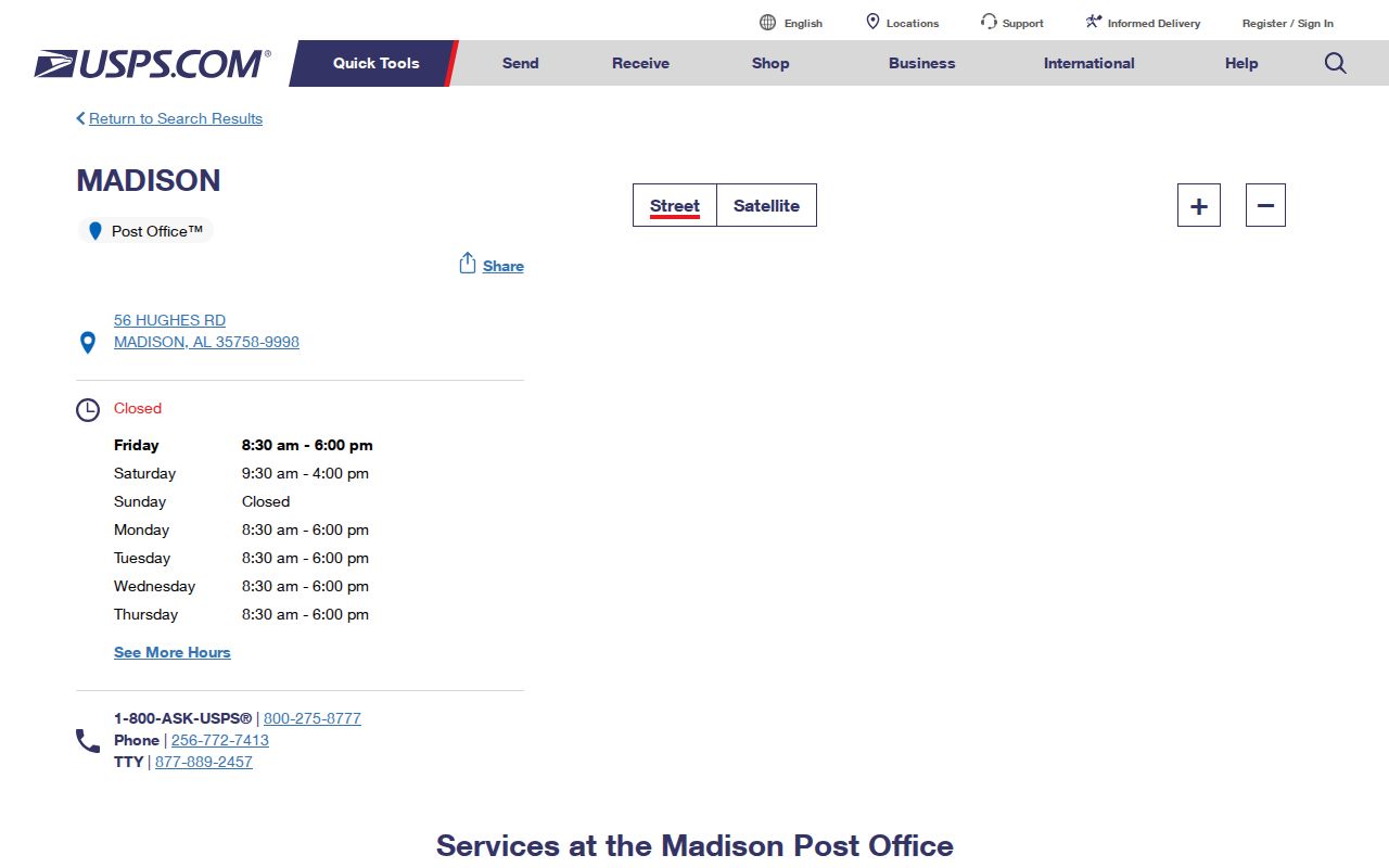
The official station page supplies delivery and facility facts. It does not identify people at an address or decide which land record applies.
When a 35758 search concerns ownership, use the address to obtain the parcel and PIN from Madison County's tax or map system. When it concerns city services, check the Madison city-limit and service layers. For mail delivery, stay with USPS. Those three paths may overlap, but each has a distinct legal source.
Madison 35756 ZIP Crosses Counties
35756 is the most important geography warning in the Madison ZIP code directory. It serves west and southwest growth, and official city-limit properties along County Line Road and Hardiman Road appear within it. The same code reaches land in both Madison and Limestone Counties. A postal result therefore cannot choose the assessor, Probate Judge, tax office, or county court.
Confirm the county with Madison's GIS before opening records. For a Madison County parcel, use the Madison County Tax Assessor and Probate Judge. For a Limestone County parcel, use Limestone Revenue and Limestone Probate in Athens. Keep the parcel number, lot and block, subdivision, or metes-and-bounds legal description with the search. That fixed land description survives better than a postal label.
ZIP myth. A Madison postal code does not prove city incorporation, county jurisdiction, ownership, or who occupies an address.
This split is not a minor edge case. Madison's growth has moved west across County Line Road, while tax and deed records continue to follow the parcel's county. A citywide file can also contain separate Madison County and Limestone County precincts. Use the ZIP as a broad start, never as the last boundary check.
Verifying Madison 35757 ZIP Addresses
The City Real Estate Locator includes 35757 among its filters, which proves that the code is relevant to current city-limit listings. The research did not establish exact neighborhood coverage or a verified delivery post office. That gap calls for exact-address verification, not a guessed boundary. It also prevents unsupported claims that every 35757 mailing address is within Madison.
Use two official tools together. First, run USPS ZIP Code Lookup by street address for the postal result. Then open the Madison GIS gateway and compare the city-limit, parcel, and both-county layers. The first tool confirms delivery coding. The second places the property in government geography.
The captured USPS lookup below provides address and city/state search modes.
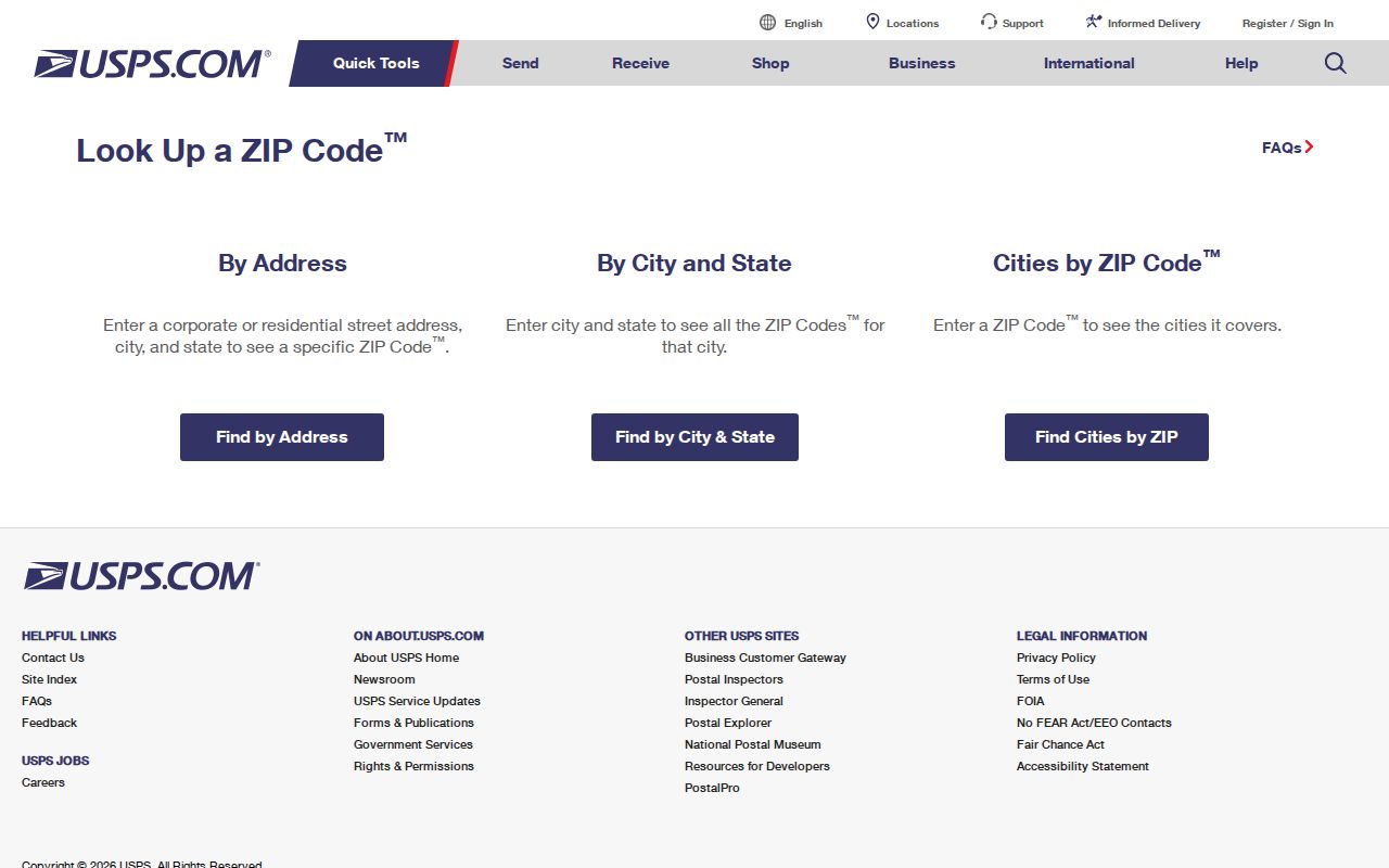
USPS also warns that a ZIP result does not confirm that a named person or company occupies the location. Treat it as an address check only.
Find Madison Residents by ZIP
A ZIP-wide name search is rarely available in the same official tool that proves city limits. Build the search in stages. Postal verification narrows delivery geography. City GIS determines incorporation and county. County parcel systems then reveal owners and tax-mailing details. Alabama voter access has its own rules and protected-address limits, so the personal self-lookup should not be treated as a ZIP browser.
- Enter the full street address in USPS ZIP Code Lookup and record the standardized postal result.
- Check the address against Madison city limits and both county parcel layers in City GIS.
- Open the correct county assessor by address, then capture owner, situs, mailing address, PIN, and subdivision.
- Use the parcel or name in the record set that fits the question, such as deeds, permits, or voter status.
- Once the search reaches a named road, continue with the Madison directory by street.
Do not infer occupants from a parcel owner. The owner may receive tax mail elsewhere, and relatives or other household members are not comprehensively listed in land records. A ZIP code directory organizes the search area; source records still carry the proof.
Madison City ZIP Filter Fields
The City Real Estate Locator is useful because it explicitly limits results to city-limit property and offers all three Madison codes. It is a property listing tool, not a tax roll or resident roll. Its search fields can help test a claim that a listed parcel lies inside Madison, but the county tax source remains the official ownership lead.
| Search Field | Use and Limit |
|---|---|
| ZIP | 35756, 35757, or 35758 within current listed city-limit property |
| County | Madison or Limestone county choice |
| Address and city | Narrows a listed location, not a household |
| Sale and price range | Filters current listings only |
| Industrial or business park | Narrows named commercial areas |
| Acreage, property type, date | Refines listing results |
Use the locator as a city-limit clue, then return to GIS and the proper county assessor for the parcel record. A listing may change or disappear, while the recorded legal description and parcel identifier remain the stronger bridge between systems.
Note: The city locator covers listed property in Madison limits and should not be read as a full postal boundary inventory.
Madison ZIPs Versus City Limits
ZIPs exist to route mail. Madison city limits define municipal jurisdiction. County lines decide which Probate Judge, assessor, and county court holds many source records. Plats and deeds define the land through parcel identifiers, section-township-range, coordinates, and recording references. One address can sit inside all four systems without their lines matching.
- ZIP and ZIP+4
- A ZIP is the broad five-digit delivery area. ZIP+4 narrows a delivery segment, not a city boundary.
- PO-box ZIP
- A code assigned mainly to post-office boxes. No Madison code was verified as PO-box-only.
- Unique ZIP
- A code assigned to one high-volume organization. No Madison code was verified as unique.
- Carrier route
- A postal delivery path that may cross civic or neighborhood lines.
- Situs address
- The parcel's physical site, which may differ from the owner's mailing address.
The USPS AIS Viewer distinguishes street, rural, PO-box, General Delivery, unique, military, and inactive delivery types and updates ZIP data monthly.
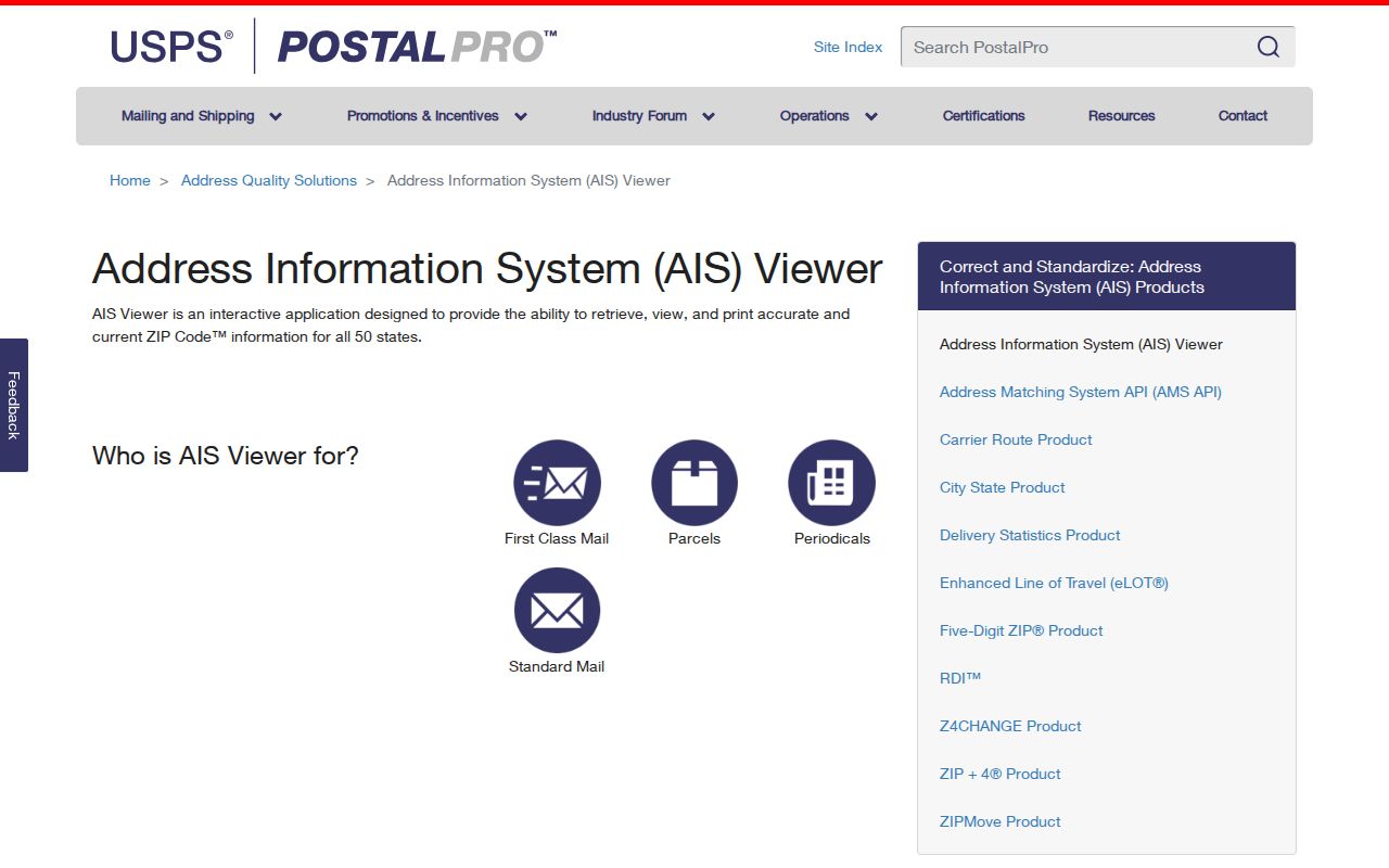
The viewer is valuable for postal type and route context, while Madison GIS remains the source for city limits and parcel placement.
Annexation Shifts Madison Records
Madison's annexation policy requires land to be contiguous and outside another municipality. That parcel-by-parcel process can change city service and tax-district context without changing the postal code or county. A current example came on January 12, 2026, when the City Council annexed the Costco at Clift Farm from unincorporated Madison County. The same mailing identity could persist while municipal jurisdiction changed.
For record research, write down the date of the event being studied. Today's city-limit layer may not describe a permit, vote, or service record from years earlier. The deed county usually stays fixed unless the county line itself changes, while municipal status can shift through annexation. Historical plats, council action, and the correct year's tax district can explain an apparent conflict.
Planning handles annexation questions at 100 Hughes Road, 256-772-5630, Monday through Friday from 7 a.m. to 4 p.m. The city's official annexation material should be paired with parcel data rather than a ZIP-only assumption.
Madison ZIP Growth Geography
Rapid growth helps explain why Madison postal, city, and county geography feels uneven. Census QuickFacts estimated 67,968 residents on July 1, 2025, up 19.4 percent from the 2020 estimate base. The 2020 census counted 56,933, compared with 42,938 in 2010. New plats and westward development have extended the practical Madison search far beyond the historic railroad grid.
Named areas include Jetplex-Putnam, Arlington, Meadow Greene, Spencer, Pride, Martin, and Atkinson industrial parks. Those names may appear in city listing or planning sources, but they do not replace a postal verification or legal parcel description. Likewise, historic Madison Station and newer areas across County Line Road can share a city identity while pointing to different county offices.
The Madison GIS catalog reflects this layered growth. It includes an address locator, city limits, StreetParcelBase, updated parcel data, zoning, voting, flood, and aerial services. Both Madison County and Limestone County parcel layers are present. Older aerial sets from 2016, 2018, 2019, and 2020 can add time context, while council, historic, and code-enforcement districts answer different city questions. None of those layers changes the USPS delivery result. Instead, they explain what government boundary surrounds the standardized address and which record keeper should be consulted next.
A sound Madison ZIP code directory keeps the layers distinct: USPS for delivery, Madison GIS for city context, and county tax and Probate systems for parcels and deeds. That method works even as new land enters the city.